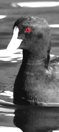
Drones set on MDB birds
 The Murray-Darling Basin Authority (MDBA) is using drones to monitor important waterbird populations.
The MDBA has collaborated with the Australian Institute for Machine Learning and the Unmanned Research Aircraft Facility at University of Adelaide to build a unique new tool that assesses pictures collected by drones to count waterbirds more accurately.
MDBA’s General Manager of Applied Science, Dr Matthew Coleman, says the new tool is a big step forward to increase accuracy and reduce the time and resources required for assessing waterbird numbers.
“The Murray–Darling Basin is home to more than 120 species of waterbirds living in wetlands, lakes and estuaries and on the floodplains. Their populations are a key indicator of the Basin’s health,” Dr Coleman said.
“Collecting accurate data about waterbird numbers is vital to building our scientific knowledge and assessing the impacts of the Basin Plan.
“The new tool has enormous potential - high-resolution images collected by drones together with counting software significantly enhance our ability to collect accurate data on waterbird colonies throughout the Basin.”
In a recently completed trial of the tool, a count of straw-necked ibis in a South Australian location found the new method to be more than 90-per-cent accurate.
The software code has been shared freely on the MDBA's GitHub page so researchers and other organisations can use the technology for their own purposes – with or without waterbirds.
The project was funded through the Murray–Darling Water and Environment Research Program (MD-WERP) which is a 4-year, $20-million Australian Government initiative aimed at strengthening scientific knowledge of the Basin by generating new tools and knowledge through innovation.


 Print
Print